
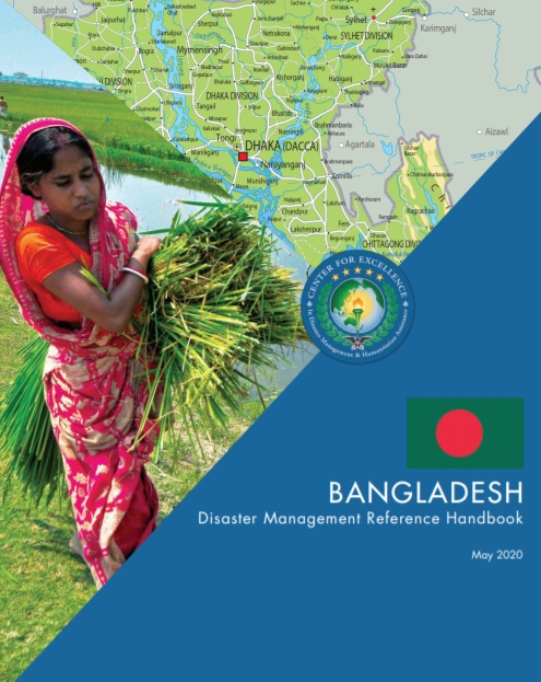
Bangladesh has been affected by more than 200 natural disasters over the last three decades. The country’s geographical location next to the Bay of Bengal, low-lying terrain, monsoons, and significant rivers render the country very vulnerable to natural hazards. From 1970-2019, storms have been the most frequent disaster to affect Bangladesh at 52%, followed by floods at 31%, with the remaining disasters being epidemics, earthquakes, droughts, and landslides.7 In addition, Bangladesh is one of the countries in the world most at risk from the negative impacts of climate change including increases in incidence and intensity of extreme weather events and hazards such as soil salinization, rising sea levels and riverbank
erosion.8 Bangladesh has many sources of vulnerability including earthquakes and flooding. Traffic in Dhaka is among the most congested in the world.
An earthquake heavily affecting the capital is among the more challenging disaster scenarios.9 In addition, the flood damage potential is
increasing due to climate change, urbanization, growth of settlements in flood-prone areas and over reliance on flood control works such as
levees and reservoirs.10 Growing urbanization is driven partly by migration and has contributed to straining the use of limited land, environment, and fragile infrastructure. Migration toward urban areas is in turn driven partially by climate change exacerbating flooding of formerly inhabited land around river delta areas. These emerging risks present major challenges to the continued human development, poverty reduction and economic growth of the country, and to the lives, livelihoods, and health of its people.1
Bangladesh: Disaster Management Reference Handbook, May (2020)
Add Comment