
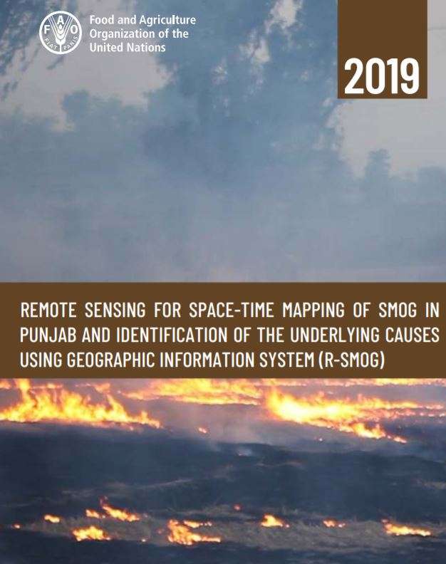
Food and Agriculture Organization of the United Nations, Pakistan initiated the Technical Cooperation Programme on Remote Sensing for Spatio-Temporal mapping of Smog (R-SMOG) upon the request of the Government of Punjab. The R-SMOG evaluates the relationship between Smog and the rice residue burning practices by farmers in the Rice belt of Punjab. It is a comprehensive geospatial research which integrates Spatio-temporal mapping of smog viz-a-viz climatological modelling, study of seasonal trends and dynamics and estimates an inventory of sectoral emissions. The findings of the R-SMOG will assist to generate scientific evidences to study the causes of Smog in Punjab and to adopt adequate mitigation and adaptation strategies.
Remote sensing for space-time mapping of smog in Punjab and identification of the underlying causes using geographic information system (R-SMOG)
Add Comment